Ground Penetrating Radar
Professional subsurface imaging systems for infrastructure inspection, utility detection, and geological surveys. Four frequency options for different depth and resolution requirements.
Choose Your System
Select based on your depth and resolution requirements
Product Details
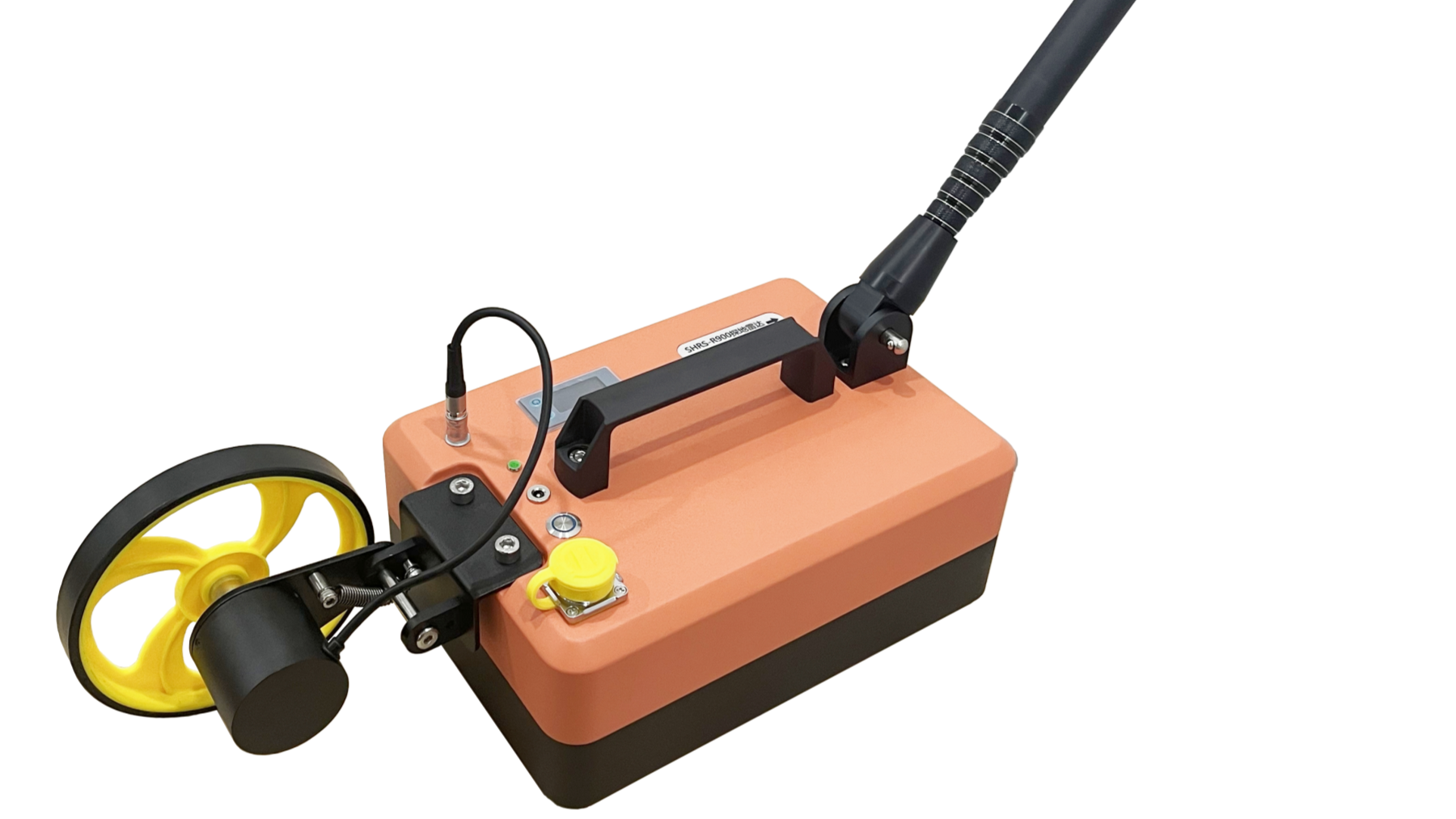
SHRS-R900
Ultra-high resolution GPR for shallow detection applications. Ideal for tunnel lining analysis, rebar distribution mapping, road structure inspection, and detecting small-scale defects.
Key Applications
- Tunnel lining thickness measurement
- Void and delamination detection
- Rebar and steel arch mapping
- Pavement layer analysis
SHRS-R400
High-resolution scanning for medium-depth applications. Perfect for concrete inspection, structural defect detection, and shallow geological hazard assessment.
Key Applications
- Concrete and rebar inspection
- Tunnel lining quality control
- Retaining wall defect detection
- Pavement structure analysis

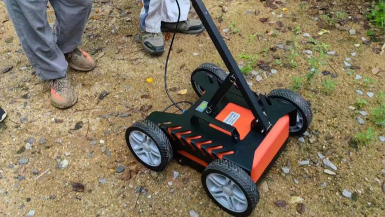
SHRS-R200
Versatile engineering GPR with balanced depth and resolution. The go-to choice for road/bridge inspection, municipal pipeline detection, and tunnel quality assessment.
Key Applications
- Road and bridge defect detection
- Municipal pipeline location
- Tunnel lining inspection
- Underground utility mapping
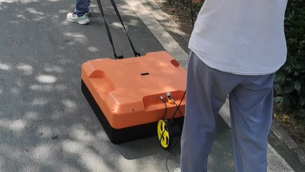
SHRS-R100
Professional deep-layer GPR for geological surveys and engineering exploration. Maximum penetration depth for tunnel advance prediction, landslide detection, and large-scale underground mapping.
Key Applications
- Geological hazard assessment
- Engineering exploration
- Tunnel advance prediction
- Slope stability detection
GPR B-Scan Simulator
Experience how GPR data looks in real-time. This simulator shows a typical B-Scan with underground objects.
Need Help Choosing?
Our engineers can help you select the right GPR system for your application.
Contact Us