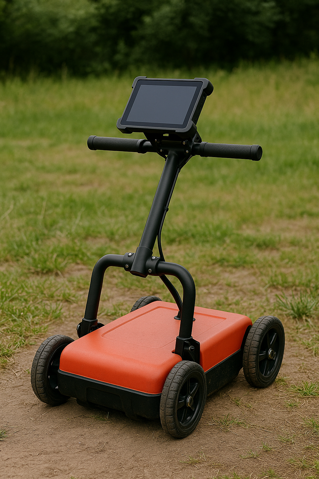
Ground Penetrating Radar
High-resolution subsurface imaging systems designed for professional engineering surveys, infrastructure inspection, and non-destructive testing applications.
Available Frequencies
900 MHz
High-resolution imaging for shallow depth applications
- ✓ Penetration depth: 0-3 meters
- ✓ Resolution: < 2 cm
- ✓ Ideal for: Concrete inspection, rebar detection
- ✓ Applications: Bridge decks, parking structures
400 MHz
Balanced performance for versatile applications
- ✓ Penetration depth: 0-8 meters
- ✓ Resolution: ~ 5 cm
- ✓ Ideal for: Utility detection, archaeology
- ✓ Applications: Road surveys, cable detection
100 MHz
Deep penetration for geological surveys
- ✓ Penetration depth: 0-20+ meters
- ✓ Resolution: ~ 15 cm
- ✓ Ideal for: Geological surveys, tunnel detection
- ✓ Applications: Mining, foundation analysis
Key Features
🎯 Real-time Imaging
Live B-scan visualization with instant feedback for efficient fieldwork
💾 Data Recording
High-speed data acquisition with GPS integration for precise mapping
🔧 Ruggedized Design
Weather-resistant construction for demanding field conditions
📊 Advanced Processing
Sophisticated signal processing algorithms for clear imaging
🔌 Modular System
Interchangeable antennas for multi-frequency operation
🖥️ User-friendly Interface
Intuitive software for both field operation and post-processing
Applications
Infrastructure Inspection
Bridge decks, tunnels, parking structures, concrete quality assessment
Utility Detection
Underground pipes, cables, voids, and buried infrastructure mapping
Road & Pavement
Layer thickness, base quality, asphalt density evaluation
Archaeology
Non-invasive site investigation and historical structure analysis
Geotechnical
Soil stratification, bedrock depth, foundation investigation
Environmental
Contamination mapping, landfill characterization, water table detection
Need a Custom GPR Solution?
Our team can customize GPR systems to meet your specific project requirements.
Contact Our Team