Heritage estate
Foundations of a 1928 building located from the original deed plans
A completed survey: 31 profiles at 400 MHz, read against the plans of the original deed to find the foundations of the building.
Project log →We survey sites ourselves, write the software that processes the data, and supply and support the radars that acquire it. Pick the door that matches what you need.
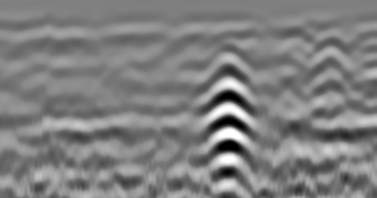
Let us do the survey, run the software yourself, or buy the radar — or all three.

Pipes and cables, tanks, foundations, voids, tree roots, slabs and road layers, across Belgium. You receive marked profiles, a plan and a plain answer.
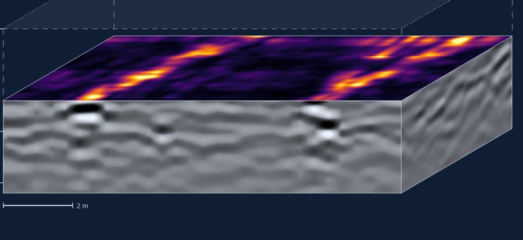
RsGprCtrl for acquisition, RadarDataProc on the desktop and RsGprProc in the browser. Opens nine radar data formats.
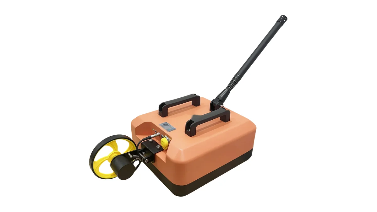
Ground-coupled radars from 100 MHz to 1.6 GHz, and an array radar at design stage.
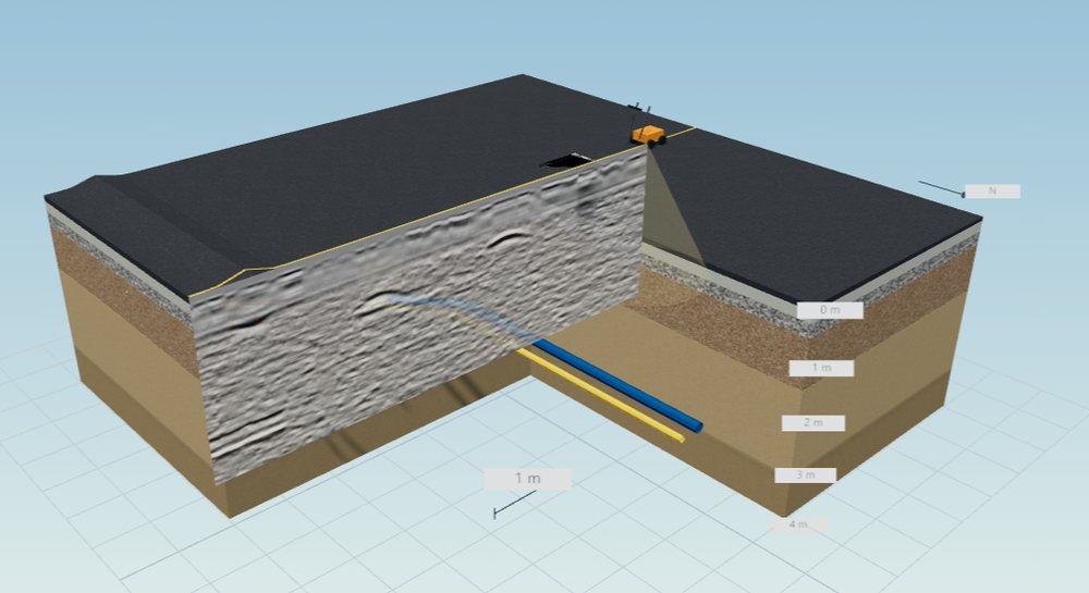
Choose a radar, describe the site, and get the radargrams it would record — with every buried object known. For feasibility checks, radar comparison, software testing and teaching. A five-minute video shows a survey from start to finish.
Simulator and video →A representative selection from our project archive: 16 surveys carried out and 1 ordered. Full project log →
A completed survey: 31 profiles at 400 MHz, read against the plans of the original deed to find the foundations of the building.
Project log →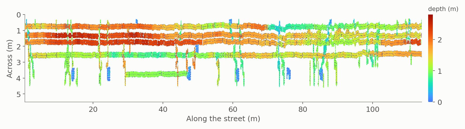
Pipes picked on each radargram and plotted on a depth map, so the client could see which manhole feeds which run. Median depth 1.37 m.
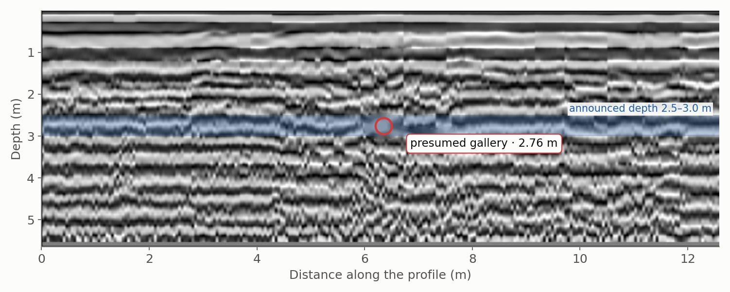
Forty 200 MHz profiles; the gallery was located on 8 of them, 3.4 m from the route on the plan, at 2.46–2.92 m depth — right at the useful depth of 2.83 m.
Process your own data online today, or have us survey it for you.