What moves on your site, day and night, measured at the site.
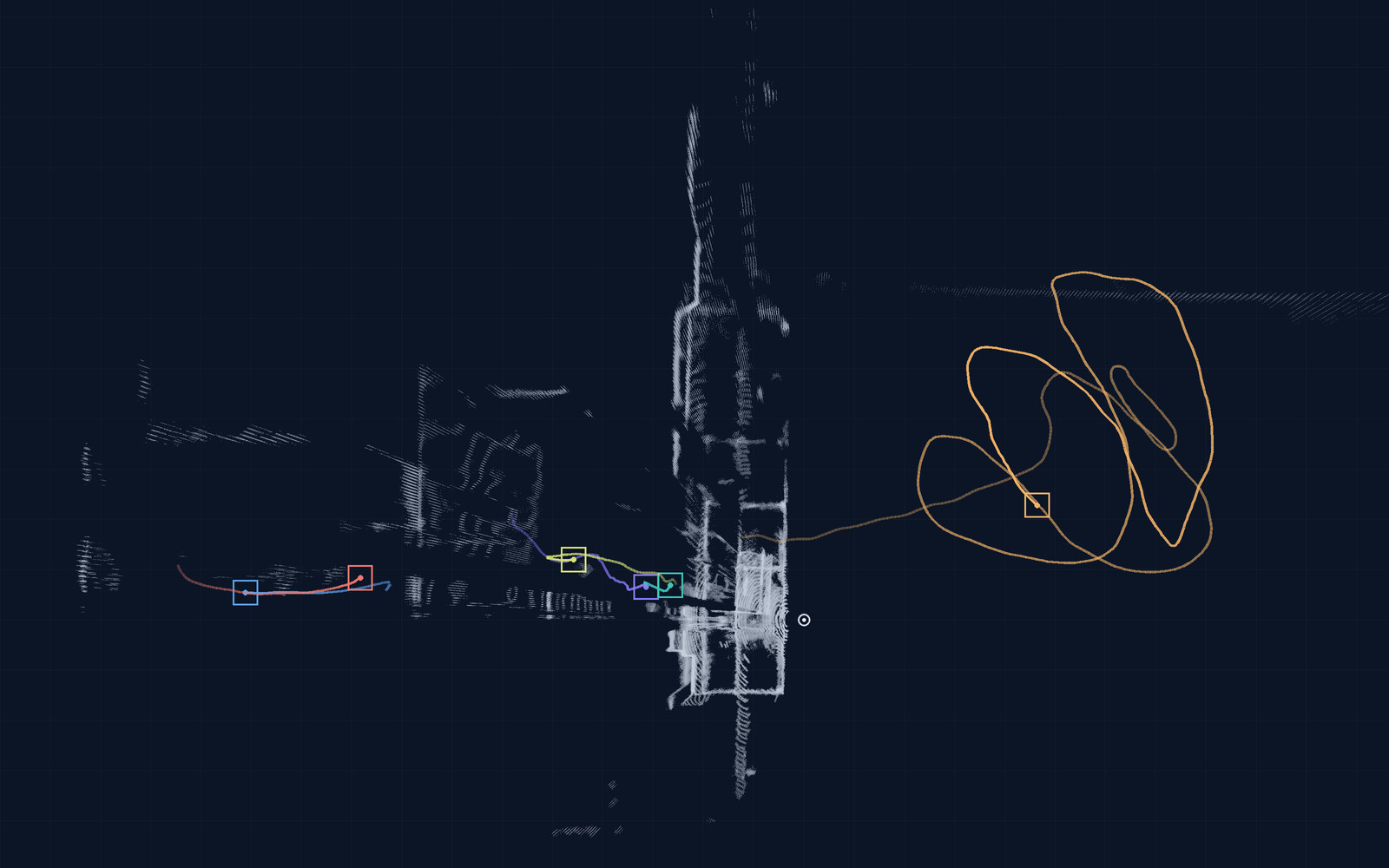
Trucks, vans, cars and people at your gates, docks and yard: counted by class, timed and shown on a map. Radar and LiDAR need no light and do not capture faces or identifiable images. The processing runs on an edge computer at your site.
Built and tested on our own recordings. We are setting up first pilots with site owners.
Three ways we work with site owners
Site flows is where most projects start. Drone 3D is a processing service for footage you fly yourself. Occupancy without cameras is in development and offered as a pilot.

Site flows
Gate counts by class, dwell times at docks and waiting areas, yard and parking occupancy, zone alerts. Radar and LiDAR, an edge computer at the site and a web console with map, zones, alarms, event log and CSV export.
Site flows →
Drone 3D: you fly, we process
Send us the video of your drone flight. We return a textured mesh, a dense point cloud, an orthophoto, an elevation model and the camera track.
Drone 3D →
Occupancy without cameras
Is a room or a zone in use? Presence from WiFi signals or radar, with no camera image. Offered as a pilot on one area.
About occupancy →Which sensor sees what
Each sensor has its strengths. On most sites we combine radar and LiDAR, and add a camera only where it helps.
| LiDAR | Radar | Camera | WiFi sensing | |
|---|---|---|---|---|
| What it measures | Exact position and shape of vehicles and people, in 3D | Distance, position and speed of what moves | What things look like: type, colour, markings | Whether people are present in a room or zone |
| In the dark | Works: it brings its own light | Works | Needs light or infrared lighting | Works |
| Rain and fog | Light rain is fine; dense fog and heavy snow shorten its view | Largely unaffected | Reduced, much like the human eye | Used indoors |
| Captures faces or identifiable images | No: points and shapes only | No | Yes, unless masked or not stored | No |
| Typical use | Gates, lanes and zones where position matters | Gates and yards at night and in bad weather; speed | Telling vehicle types apart where there is light; checking an event | Room and zone occupancy (R&D, pilot only) |
What stays on site
The sensors and the edge computer are at your site. What leaves the edge computer are events and counts, not images.
- Radar and LiDAR measure positions, shapes and speeds. They do not capture faces or identifiable images.
- A camera is optional. Where you want one, we agree with you what it records, what is stored and for how long.
- Counts, dwell times and events go to the console, which runs on servers within the EU, and to the exports; alerts can also be sent by e-mail or SMS. Images are not sent off site unless agreed with you.
Diagram: from the sensors to your console
How a project runs
Five steps, from the first visit to hand-over. At each one you know what you receive and what we need from you; the pilot page breaks the pilot itself down step by step.
- 01Site visit
- 02Feasibility
- 03Pilot
- 04Evaluation
- 05Hand-over or extension
Each step: what you receive, what we need
- 01
Site visit
We walk the gates, docks and yard with you and note what must be counted and where sensors could go.
- You receive
- Our notes and a first sensor layout
- We need
- Access to the site and someone who knows its traffic
- 02
Feasibility
We check what each sensor position can see, and what the site offers for power and network.
- You receive
- A feasibility note with the proposed positions and a pilot scope
- We need
- Site plans, opening hours, details of existing cameras and network
- 03
Pilot
We install sensors and an edge computer at one gate or one area, for a fixed scope and a duration agreed in advance.
- You receive
- Console access and exports during the pilot
- We need
- A mounting point, power and a network or mobile connection
- 04
Evaluation
We compare the results with the success criteria agreed before installation, for example your gate logs or manual counts.
- You receive
- An end-of-pilot report
- We need
- The reference data, and a person to review the results with us
- 05
Hand-over or extension
You decide: extend to more gates and areas, keep the system as delivered, or stop and we remove the equipment.
- You receive
- The delivered system with documentation and training, or a clean removal
- We need
- Your decision, and the people who will run the system
Occupancy without cameras
How it works, status, what you receive
Is a meeting room, a break area or a zone in use? WiFi sensing reads presence from the WiFi radio signal between small modules; radar senses presence and movement. Neither forms a camera image.
- Status: in development, built and tested on our own recordings.
- How we offer it: as a pilot on one room or one area, with the scope and the success criteria agreed in advance.
- What you receive: a live presence view per room or zone, an event log and an end-of-pilot report.
For engineers
The technical stack behind each sensor type, integrated, trained and tested by us. Models such as PointPillars and YOLO are open source.
Technical stack by sensor type (table)
| Sensor type | Sensor class | Processing | Output |
|---|---|---|---|
| LiDAR | 128-line LiDAR over UDP | UDP ingestion, PCAP replay, range and reflectivity filtering, voxel down-sampling, RANSAC background and ground separation, clustering, PointPillars detection, tracking | Tracked 3D boxes; pyqtgraph, PyVista and Open3D viewers |
| Radar | mmWave radar | Acquisition, labelling, curated datasets, classifier for ground targets | Range, radial speed, angle and class of vehicles, pedestrians and cyclists |
| Camera | 4K camera | YOLO-class detection and segmentation, exported to ONNX, ONNX Runtime with DirectML or NPU acceleration | Object class and box in the image |
| Drone video | Video from the customer’s drone, optional telemetry or SRT file | Frame selection, camera pose estimation, dense matching, meshing, orthophoto and elevation model | Textured mesh, dense point cloud, orthophoto, elevation model, camera track |
| WiFi sensing | WiFi module | Channel-state-information capture, firmware, FastAPI backend, presence models | Presence state, live dashboard |
| Fusion | Radar + LiDAR, camera optional, on an edge computer | Multi-object Kalman tracking of the sensor streams, zones and rules | One track list, counts and events; web console with map, alarms, event log and CSV export |
Frequently asked
Which sensor should we start with?
For gates and yards, usually radar and LiDAR together: radar for distance and speed in any weather, LiDAR for exact position and shape. A camera is added only where telling vehicles apart by their look matters and there is light. We propose the combination after the site visit.
Does it work at night and in rain?
Radar and LiDAR bring their own signal and need no daylight, so the counts continue at night. Radar is largely unaffected by rain and fog; dense fog and heavy snow shorten what LiDAR sees, which is one reason we combine the two. A camera needs light.
What data leaves the site?
Events and counts: time, gate or zone, class, direction and dwell time. They go to the console, which runs on servers within the EU, and to the exports; alerts can also be sent by e-mail or SMS. Camera images, where a camera is used, stay on the edge computer unless you agree otherwise.
More questions
Can you use our existing cameras?
Often as an extra view, for example to look at an event. Tell us what cameras you have and how they are connected; in the feasibility step we check whether their view and image are useful. The counts themselves come from radar and LiDAR.
What do we provide on site?
A mounting point for each sensor position, such as a pole, a wall or a canopy; power; and a network connection or a spot with mobile coverage for the edge computer. We bring and install the sensors and the edge computer.
How is it priced?
Per site. After the site visit we quote the pilot and, if you continue, the delivered system. There is no price list.
Have you deployed this at a customer site yet?
Not yet. The system is built and tested on our own recordings, and we are now setting up first pilots with site owners. A pilot is how we show what it does on your site before you decide on more.
Tell us about your site
A few answers are enough to propose a site visit or a pilot.
What you receive, and attachments
- A first view of which sensors fit your site
- A proposal for a site visit or a pilot
- A quote for your site: we quote per site, there is no price list
You can attach a site plan or photos here, or send them by email later.