Ground penetrating radar systems: pick the frequency for the job.
Ground-coupled radars from 100 MHz for depth to 1.6 GHz for the finest detail, and the acquisition and processing software to go with them.
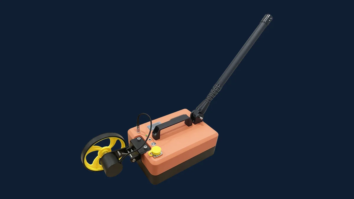
SHRS series
Higher frequency, finer detail; lower frequency, deeper reach. One software suite across the range.
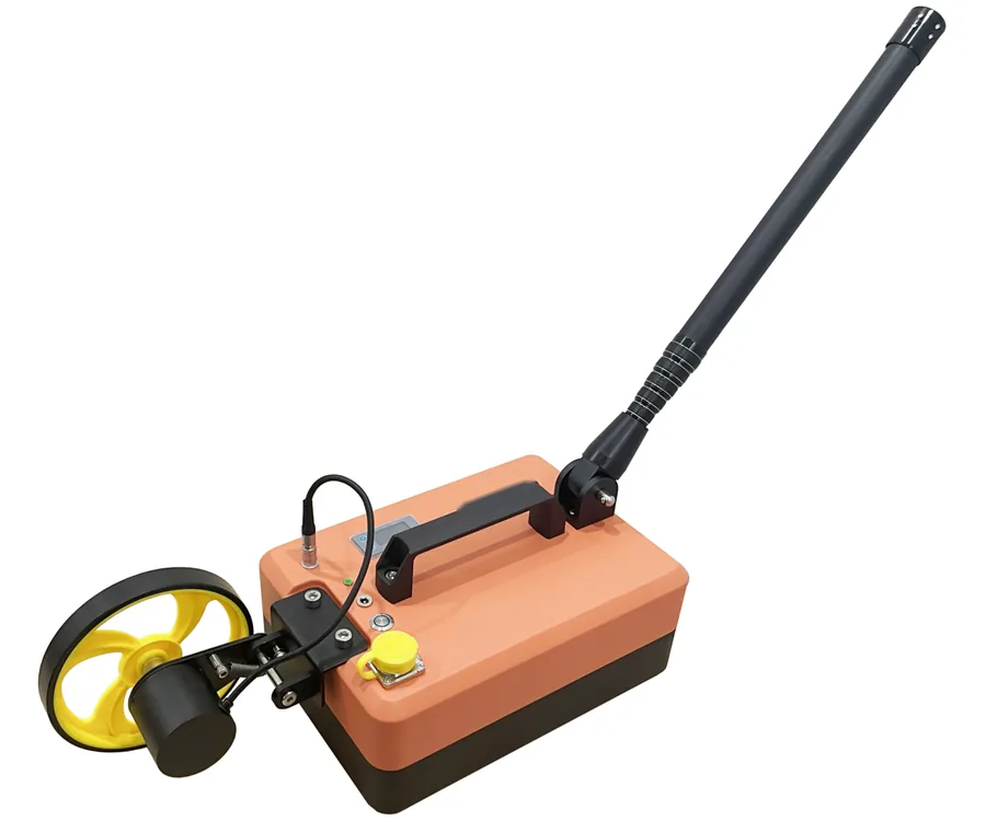
SHRS-R900
900 MHzDepth 0.8–1.5 m in favourable ground
Tunnel linings (lining thickness, voids, debonding, rebar and steel arches), reinforced concrete (rebar layout, voids, cracks) and pavements (layer thickness, voids, settlement, moisture).
Hand-held or towed · rugged tablet
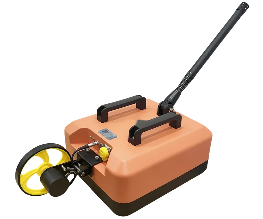
SHRS-R400
400 MHzDepth 2–4 m in favourable ground
Engineering geology, road and bridge defects, municipal utilities, tunnel quality control and retaining walls.
Hand-held or on a survey cart · rugged tablet
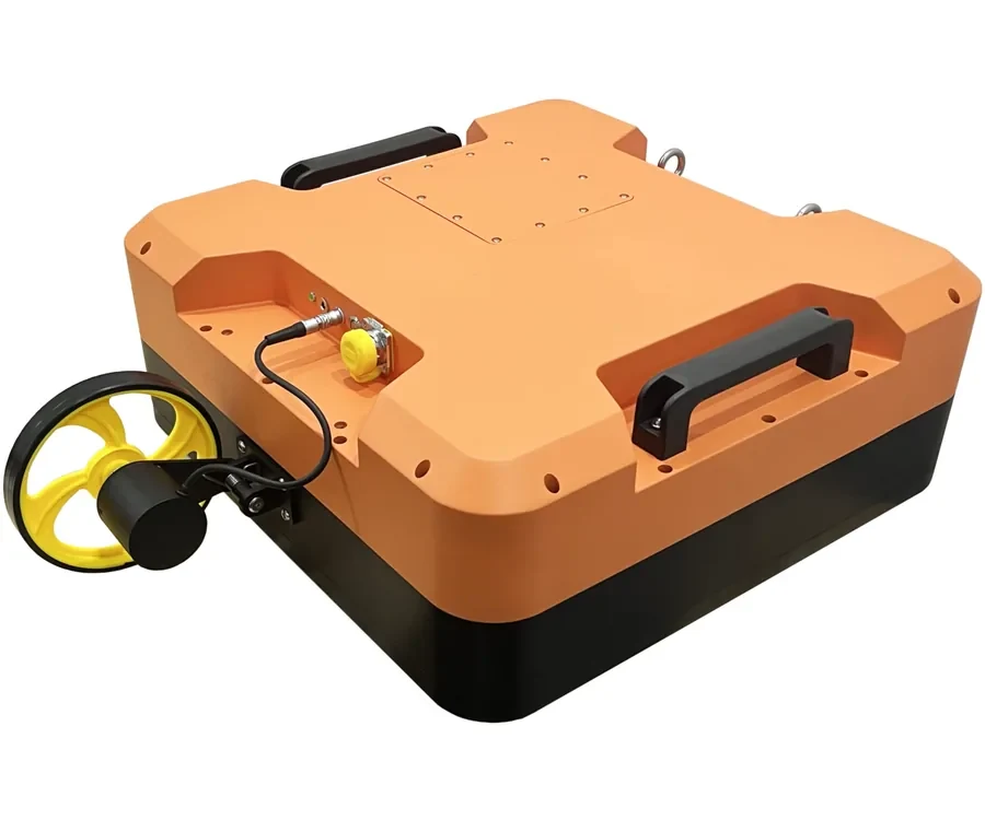
SHRS-R200
200 MHzDepth 5–8 m in favourable ground
The R400 fields, deeper: shallow geological hazards, utility detection and leak detection.
Hand-held or on a survey cart · laptop
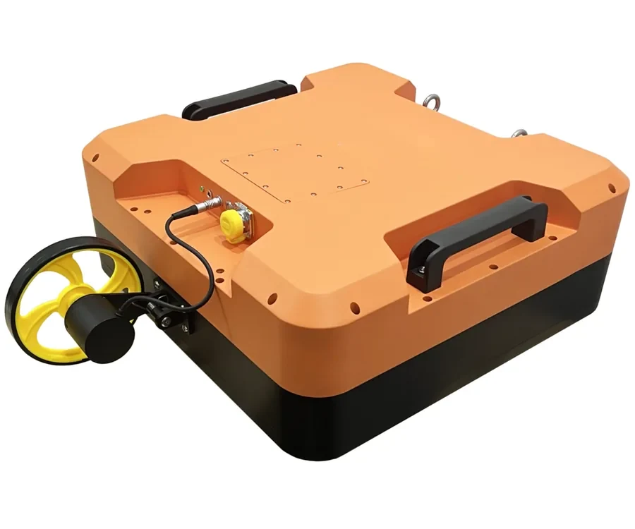
SHRS-R100
100 MHzDepth 10–15 m in favourable ground
Geological hazard assessment, engineering geology, ahead-of-face prediction in tunnels and landslide investigation.
Hand-held · laptop
Also in the range: a 1.6 GHz antenna for the finest detail, up to 0.8 m in favourable ground — concrete, rebar layout and poorly compacted zones in bridge decks.
| Model | Frequency | Depth in favourable ground | Typical use |
|---|---|---|---|
| 1.6 GHz antenna | 1.6 GHz | up to 0.8 m | Concrete, rebar layout, poorly compacted zones in bridge decks |
| SHRS-R900 | 900 MHz | 0.8–1.5 m | Rebar, tunnel lining, pavement layers |
| SHRS-R400 | 400 MHz | 2–4 m | Concrete, voids, retaining walls, utilities |
| SHRS-R200 | 200 MHz | 5–8 m | Roads, bridges, municipal pipelines |
| SHRS-R100 | 100 MHz | 10–15 m | Geology, deep exploration |
Common to the SHRS series
| Coupling | Ground-coupled; each antenna is a complete stand-alone radar, so you buy only the frequencies you need |
|---|---|
| A/D conversion | 16-bit |
| Trace rate | up to 512 traces/s |
| Sampling frequency | 5–20 GHz, selectable |
| Samples per trace | 512 or 1024 |
| Triggering | Continuous (time) or odometer wheel |
| Distance accuracy | ≤ 3 mm with the odometer wheel |
| Gain | Segmented and automatic |
| Real-time processing | Trace stacking (1–10 traces), background removal, filtering |
| Real-time display | A-scan and B-scan on site |
| Interface | RJ45 Ethernet, gigabit cable supplied |
| Power | Built-in Li-ion battery, ≥ 10 h continuous operation, swappable |
| Software | RsGprCtrl acquisition (the antenna is recognised automatically); RadarDataProc or RsGprProc processing |
In the box
- Radar unit with integrated transmit and receive antenna, built-in battery, odometer wheel and anti-slip base plate
- Rugged tablet or laptop as control unit
- RsGprCtrl acquisition software
- RadarDataProc and RsGprProc processing software
- Gigabit Ethernet cable
- Extension handle
- User manual
- Transport case
Optional: survey cart
Quoted for your work
Antenna frequencies, positioning and accessories are chosen with you, from the targets and ground you describe.
RsGprCtrl, RadarDataProc and RsGprProc
Acquisition with RsGprCtrl on tablet or laptop, processing with RadarDataProc on the desktop or with RsGprProc in the browser.
Hands-on, on site or by video
Acquisition, processing and reporting on your own data, in English, French or Dutch.
From your question to a written quotation
- 1
Describe the work
The targets, the ground and the depth you need. We advise on the frequency before you buy.
- 2
See results first
We process a dataset acquired with the model you are considering, or arrange a demonstration in Belgium.
- 3
Receive a written quotation
Model, antennas, software, accessories and training. Price, delivery and terms are those of the quotation.
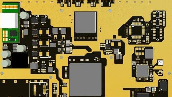
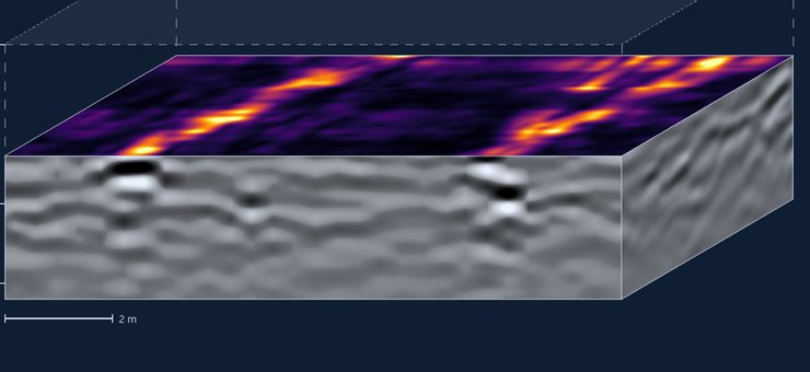
A stepped-frequency array radar
Eight transmit and receive channels in one clock domain, across a wide band, make a radar array that maps a full swath in one pass and delivers a 3D volume instead of single profiles. The radar core will be our own direct-sampling SDR board, and the processing RsGprProc. It is aimed at utility mapping and large-area surveys, where survey time is the cost.
Design stage. It will be used on our own surveys first.
Frequently asked
How deep can you see?
From up to 0.8 m at 1.6 GHz and 0.8–1.5 m at 900 MHz to 10–15 m at 100 MHz, in favourable ground. Clay and saline soils attenuate the signal; we advise on the frequency for your ground before you buy.
Which frequency should I start with?
For utilities and general site work, 400 MHz. Add 900 MHz, or 1.6 GHz for the finest detail, if concrete and pavement are a large part of your work, 200 MHz if your targets lie below four metres.
Can I see results before buying?
Yes. We can process a dataset acquired with the model you are considering, and arrange a demonstration in Belgium.
Tell us the targets and the ground
We will recommend a configuration and quote it with software and training.